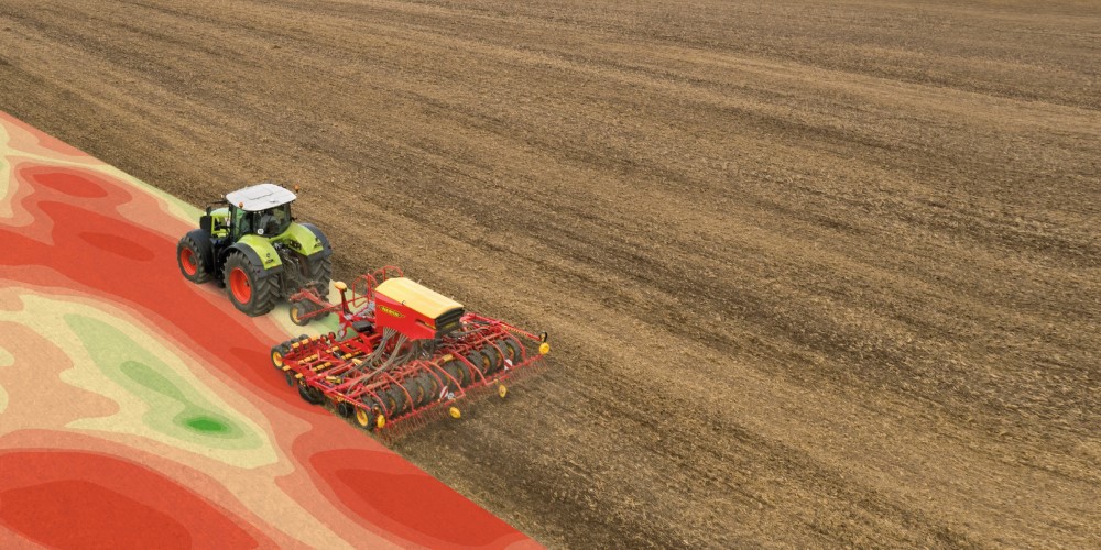
Use variable rate application on your fields.
Get started with precision farming with us easily.
Support your crop cultivation decisions with Precision Farming
The possibilities in arable farming are becoming increasingly complex and more and more decisions are having to be made at the same time. Maintain an overview with digital solutions. Take on your farming challenges with the Precision Farming applications from 365FarmNet.
Extensive software solutions from 365FarmNet for your first steps in Precision Farming.
Application maps and soil samples
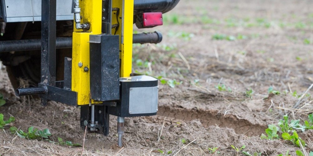
With the component you can quickly and easily create one or more application maps using available field data (currently only soil sample results) and then use them on your fields.
Our regional sales representatives are available to help you with the planning and taking of soil samples and for anything else that you may need help with. You can use the available master data from the 365FarmNet platform to assign the maps.

Crop View – Satellite data for sowing, fertilising and plant protection

You can use this component to determine the vegetation differences in your fields and create potential and application maps based on this information. You can check the ripening of your crops and work out the optimal harvesting sequence with a field comparison.
The component is easy to use and can quickly process current and historical satellite data. By integrating this component into the 365FarmNet platform, satellite images can be displayed directly on your fields and you can optimally plan your measures.
Fieldplanner
Most fields have a heterogeneous surface. You can use the Fieldplanner component to plan your routes from a bird’s‑eye-view in advance and find the optimal route. It can help you to reduce turns to a minimum or better incorporate complex field boundaries.
You can easily find routes from previous work steps and optimally coordinate different measures. You can prepare everything in advance before starting work in the field.

Fields of practice for Precision Farming
Increasing mechanisation and advanced sensor technology in the agricultural sector offer new opportunities. Networked applications are needed in order to use the collected data and the information as a basis for decision-making. With the software solutions from 365FarmNet, data can be documented, combined and evaluated. This way, measures can be planned and implemented in a targeted way.
Present the facts and make decisions
Today, agricultural processes are more complex than ever before. In arable farming in particular various different terminals and sensors are used on machines to collect data from everywhere – the time has now come to use this data. Make your business decisions based on a solid foundation and use all the available information about your farm – all in one platform.
All your data in one place
All the information from the entire farm comes together in the 365FarmNet platform. The data can be recorded, analysed and managed from anywhere. The details of the work steps can be recorded automatically and then assigned to the respective processes. This means that you can manage your entire farm from the palm of your hand.
Apply nutrients exactly where they are needed
Fertilisation is often subject to strict constraints due to various requirements or the desire to save costs. To make sure that your fields still get all the nutrients that they need, you must work efficiently and, ideally, take care of each individual plant. You achieve this with information-guided crop production and Precision Farming.
Keep every inch of your fields under control
The properties of your field surfaces can sometimes vary in very small areas due to changes in soil structure and nutrient content. This results in heterogeneous plant populations. With the help of satellite data, you can convert these differences into potential maps and then applications maps. The different zones give you an optimal planning basis for carrying out soil samples. You can then display the results from these samples in nutrient-based application maps and use them.


